In shortAtlatl Rock carries the park's best-known rock art, including a carving of the atlatl, the spear-throwing tool the rock is named for. A metal stairway climbs to a viewing platform beside the panels. The site sits on the park's west-side loop road next to Atlatl Rock Campground, with shaded tables and restrooms. Basketmaker carvers made the park's petroglyphs about 2,500 years ago. Touching or climbing the panels is not allowed.
about 2,500 yearsAge of the carvings
7.0 milesValley of Fire Road, fee booth to fee booth
9 a.m. to 4 p.m.Visitor Center, daily
from $99Small group half day tour
What the atlatl rock petroglyphs show
The carving that gives the rock its name is the atlatl, a spear-throwing device: a short throwing stick that let a hunter launch a dart with far more force than the arm alone could manage. The official park map lists the site as petroglyphs including a depiction of that tool, and the park brochure describes the surface as centuries-old rock writings featuring the atlatl. Beyond the atlatl itself, official sources do not publish a figure-by-figure inventory of the panel, so read the marks for yourself instead of hunting for a checklist someone online has invented.
The hands that cut this panel belonged to Basketmaker people, working roughly 2,500 years back according to the park authority, and Early Pueblo groups came after them. That makes this a working document left by people who hunted this ground long before the Aztec sandstone around it became a state park in 1935.
If the prehistory is the reason you are coming, start at the Visitor Center, whose daily opening runs 9 a.m. until 4 p.m. and whose displays set carvings like these alongside the park's geology, ecology and later history. The park asks every visitor to make it an early stop, and staff there will tell you the conditions you are about to drive into.
Atlatl Rock stairs and the platform at the top
A metal stairway runs up the face from the parking area to a viewing platform set level with the carvings, and that platform is where you look from. No trail and no scrambling are involved: the steps take you straight up to a railed deck. They are open metal in full sun, so take the handrail and keep an eye on children on the way back down.
One side effect of all that height: the platform is on the short list of places inside the park where a phone can find a signal, together with the two entrances, Fire Canyon Overlook, lot P3 and the White Domes parking lot. Paid WiFi is available at the Visitor Center and at Atlatl Rock Campground next door, which is useful if you need to upload something before you lose coverage again.
Small group half day from Las Vegas
Six hours, from $99, rated 5.0 ★ (4125 reviews). Admission to Valley of Fire State Park is in the price, along with a professional driver and guide, pick-up and drop-off at several points in Las Vegas, a deli-style sandwich, snacks and bottled water. It is the option for anyone who wants the drive out and the park road handled by somebody else.
★ 5.0/5 · 4,125 reviews
Where the stop sits on the west-side loop
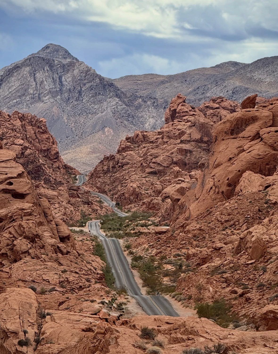
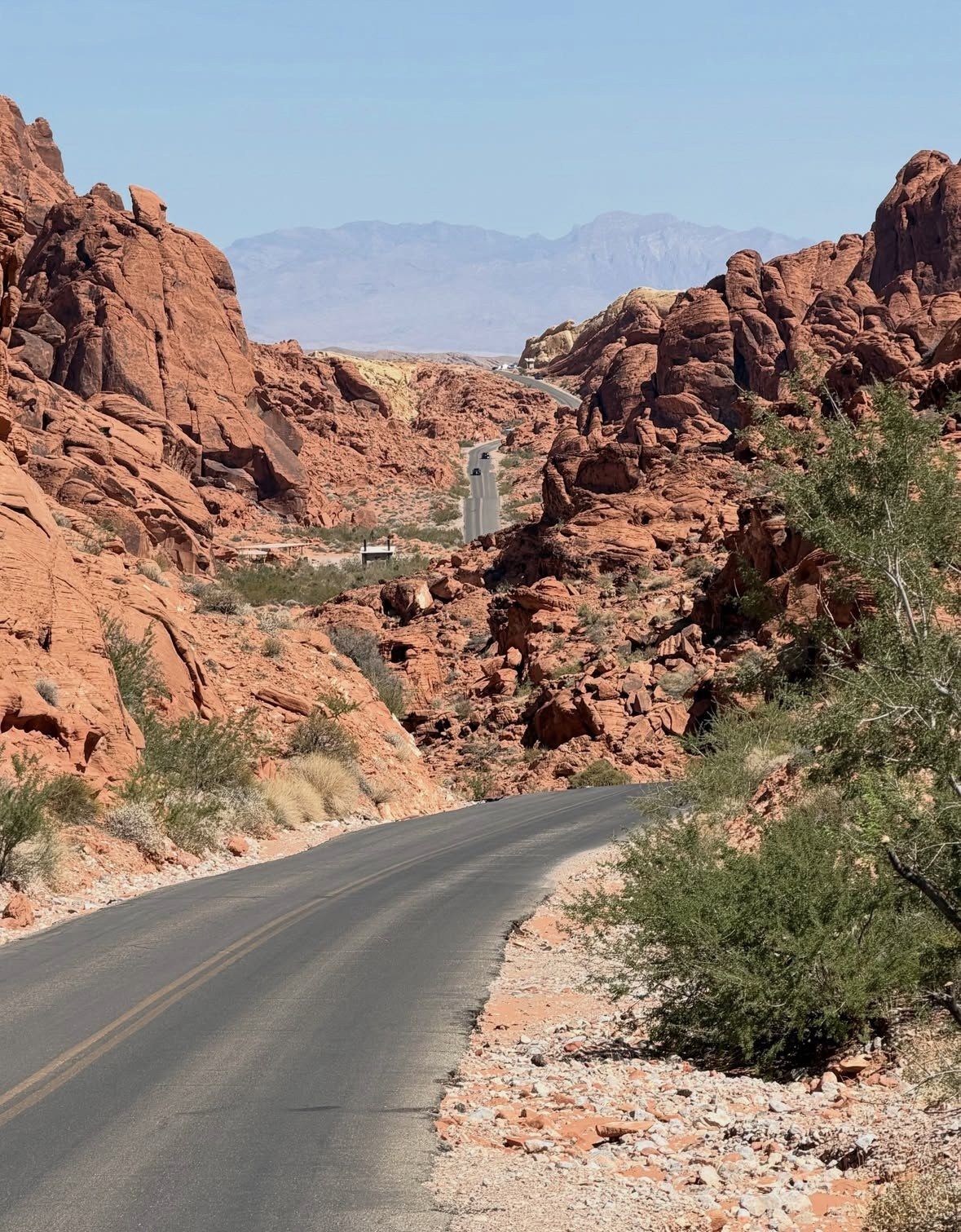
Atlatl Rock is not on the main through road. It sits on the two-mile scenic loop on the park's west side, the same branch that passes Arch Rock and Piano Rock, with Atlatl Rock Campground alongside it, the campground the official map marks with the utility hook-up sites and the brochure counts at 44 sites. Valley of Fire Road, the route the loop comes off, covers 7.0 miles between the West and East fee booths at a posted 35 mph, so the detour costs you minutes rather than half a morning.
Park in the designated area at the foot of the stairway. There is no shoulder option, since leaving a vehicle beside the roadway is prohibited anywhere in the park, and in a park drawing close to a million visitors a year the lots serving the named landmarks are taken well before the middle of the day. The stop has a shaded picnic area with restrooms, one of five such day-use areas in the park, which makes it a sensible lunch or water break between drives.
Which entrance you use matters through the end of 2026. The West Entrance, the one you reach from Interstate 15 and the closer of the two to this loop, has been running Friday to Sunday only since 3 August 2026 while crews put in a new entrance lane and a second fee booth; from Monday to Thursday the park sends you round to the East Entrance, reached from State Route 169 or State Route 167. On those days Atlatl Rock sits at the far end of your drive, so allow for the length of the park road before you get there. Nothing here is reachable between 1 and 14 December: the gates shut to every visitor for maintenance, dated Tuesday 1 December to Monday 14 December in 2026, and the stairway is back in use when normal operations restart on Tuesday 15 December.
How long to allow, and the light to aim for
Treat this as a short stop: park, climb, spend time at the platform reading the surface, come down. Add to that if you use the picnic tables or wander across to the campground loop. The viewing itself takes minutes, which is why it slots into a drive that also takes in Arch Rock, the stone cabins and Seven Sisters on the same morning.
For photographs, come in the first or last couple of hours of daylight. Low sun rakes across a pecked surface and lifts the lines out of the rock; flat overhead light flattens them into the sandstone. Shoot from the platform with a longer lens rather than leaning out over the rail, and remember that drones and other remote-controlled aircraft are banned throughout the park, so the panel has to be photographed from where your feet are.
Seasonally this is one of the stops that stays available all year, because the stairway is not a trail and none of the hot-season closures apply to it. That does not make midsummer comfortable. The thermometer is the thing to check: summer highs here regularly top 100 F and can get close to 120 F, 85 F (29 C) is the point above which the park stops recommending hiking, and the cooler half of the year sits anywhere between freezing and about 75 F (24 C). The park authority names spring and autumn as the preferred seasons, and an open metal stairway in July is a good argument for taking that advice. Carry water and go easy on it, since supply inside the park is limited.
What you must not do at the panels
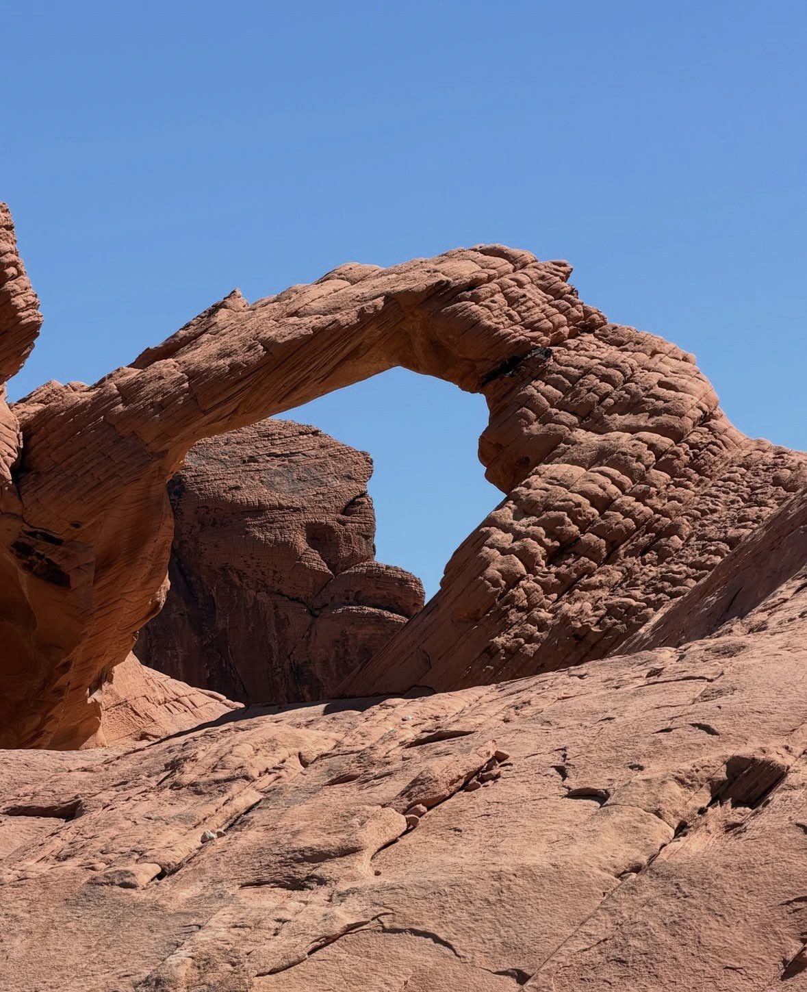
The rule that matters most is simple: do not touch the carvings. The park asks visitors to help preserve the petroglyphs by keeping hands off them and not climbing on them, and climbing on arches and petroglyph surfaces is prohibited anywhere in the park, Arch Rock and Elephant Rock included. Skin oils and scuffed sandstone damage a surface like this permanently, so stay back from the rock and let the lines be.
- Stay on the stairway and the platform, and keep your hands off the panel
- No climbing on the rock face, the arches or any carved surface
- Leave drones and remote-controlled aircraft behind; flying them is not permitted here or anywhere else in the park
- Use the designated parking area; roadside parking is not allowed anywhere in the park
- Dogs may come along on a leash of six feet or less, with only the Visitor Center off limits to them
- Nevada law protects the desert tortoise, so no touching it, no picking it up and no moving it
Pair it with the walk through Petroglyph Canyon
The park has two ways to see petroglyphs: one panel viewed from a platform, or carvings at eye level as you walk. The Mouse's Tank trail covers that second kind of ground: 0.75 mile out and back through Petroglyph Canyon, prehistoric carvings on the canyon walls as you go, and a natural basin in the rock at the end that can keep water for months after rain. You start from the lot north of the Visitor Center on the road signed both White Domes and Mouse's Tank, which has shade, tables and restrooms of its own. At under a mile it is not on the 15 May to 30 September closure list, so it pairs with Atlatl Rock in any month the park is open. There is more on the route, the parking and the timing on the petroglyph walk page on this site.
Drive the west-side loop for the stairway and platform, then head north of the Visitor Center for the canyon walk, and you have covered both rock-art stops in a half day. Keep your hands off the carvings at each of them.
| Rock art site | How you reach it | On foot | Open 15 May to 30 Sep |
|---|
| Atlatl Rock panel | Metal stairway from the parking area on the west-side loop road | Stairway up to the platform only | Yes, trail closures do not apply |
|---|
| Petroglyph Canyon, on the Mouse's Tank trail | Trailhead north of the Visitor Center on White Domes Road | 0.75 mile round trip | Yes, it sits under the one-mile closure threshold |
|---|
Questions people ask
Can I see the carvings without climbing the stairway?
From the parking area you see the rock itself, but the panel is read from the viewing platform at the top of the stairway, which is set level with the carvings. The platform sits high enough that it is one of the few places in the park where a phone signal is possible, which tells you something about the climb. There is no trail alternative and no closer route from below.
Is Atlatl Rock open in summer, when the famous trails are closed?
Yes. The hot-season rule closes park trails longer than one mile from 15 May to 30 September, and the stairway and platform here are not a trail, so the stop stays available through those months. Comfort is another matter: summer readings routinely climb past 100 F and can get close to 120 F, and anything over 85 F (29 C) is above the level at which the park recommends hiking. The one period when nobody gets in at all is the maintenance closure, Tuesday 1 December to Monday 14 December in 2026.
Are there restrooms and picnic tables at the stop?
There are, in shade, at the foot of the stairway. Count this one in and the park has five day-use areas equipped that way, the others being Seven Sisters, the Cabins, the Mouse's Tank trailhead and White Domes. Campsites in the park have potable water, fire pits and tables, and fires are only allowed in the designated pits and grills, with seasonal fire restrictions possible.
Can I fly a drone to photograph the panel from the air?
No. Drones and other remote-controlled aircraft are banned throughout Valley of Fire, so every frame has to be taken from the platform or the ground. Use a longer lens from the platform and come in early or late light, when low sun picks out the pecked lines. Keep behind the rail and off the rock surface.
Can I camp next to the rock art?
Atlatl Rock Campground sits beside the site, and the official map marks it as the campground with the utility hook-up sites; the park brochure counts 44 sites there. Every site in the park is reservable through the state system rather than first come, first served, camping is limited to 14 days in any 30-day period, and reservations are not available during the December maintenance closure. Paid WiFi is offered at that campground and at the Visitor Center.
Read also