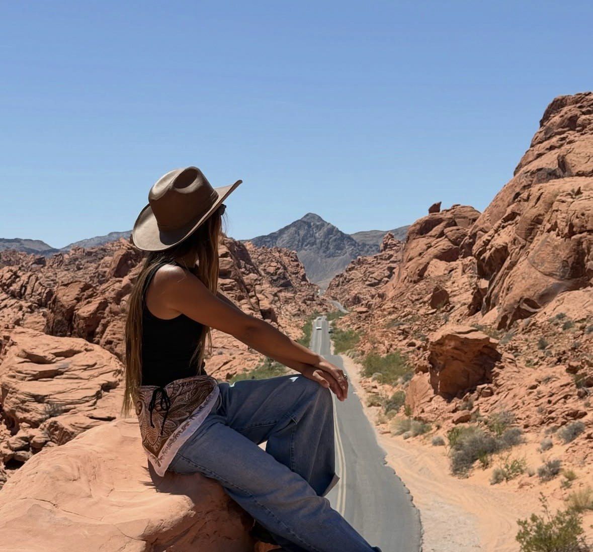
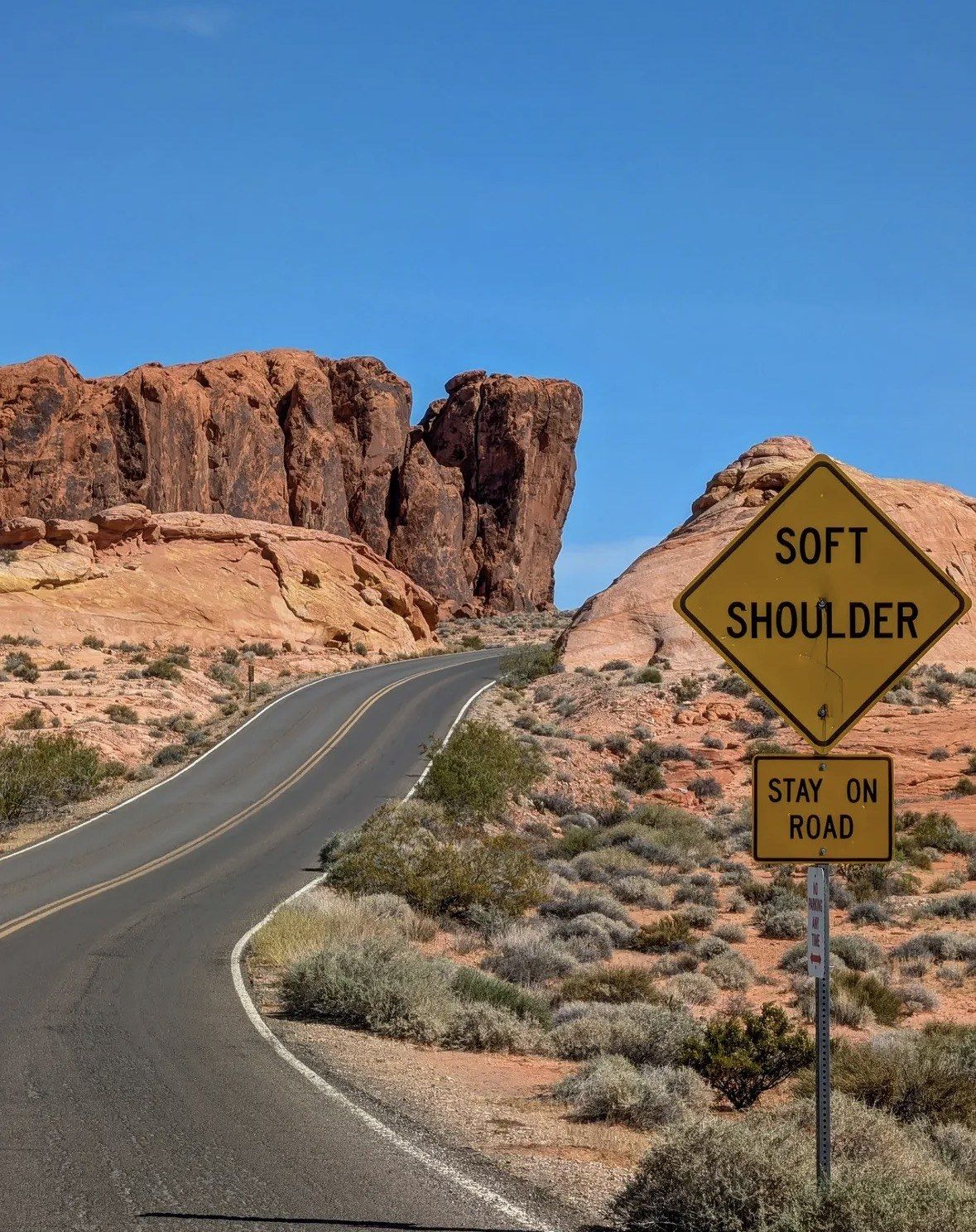
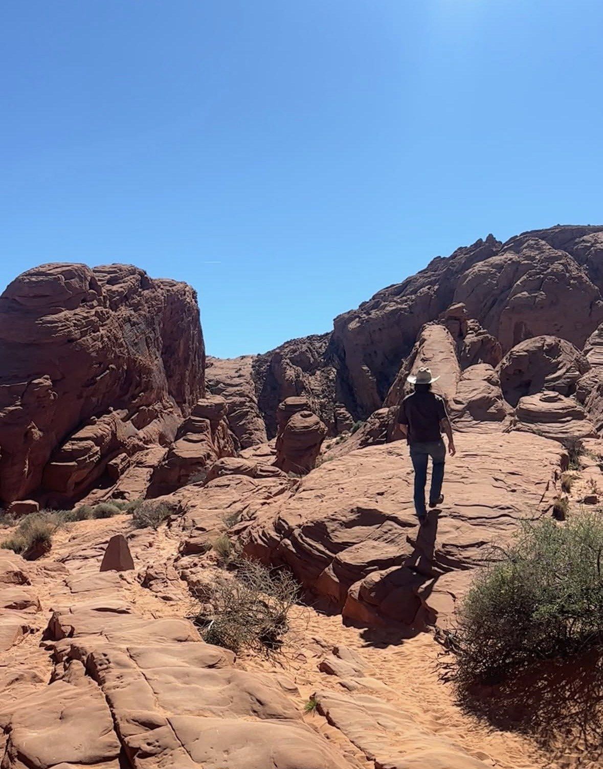
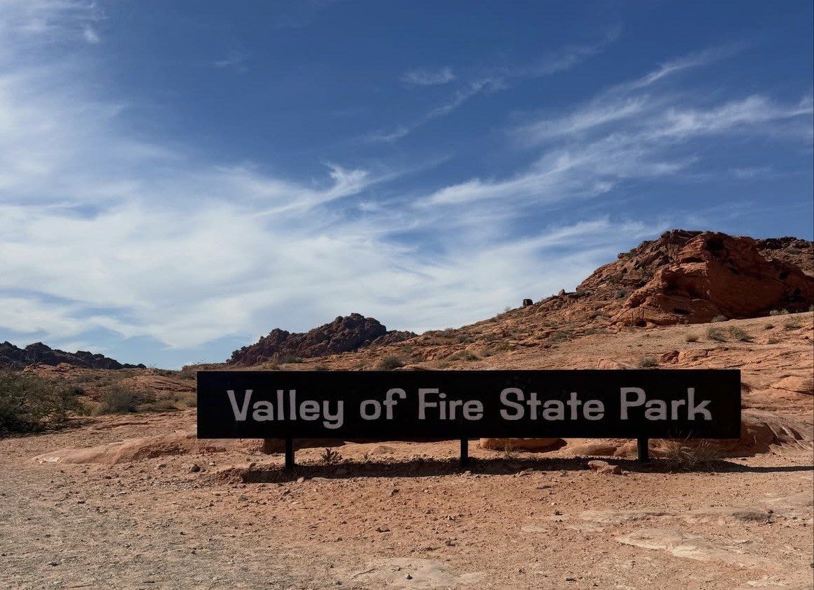
One road crosses the park west to east, a second branches north to the trailheads, and nearly every formation you have heard of sits a short walk from a lot on one of them.
Updated 22 October 2026
In shortValley of Fire sits at 29450 Valley of Fire Rd, Overton, NV 89040, around 36.4303, -114.5143, 55 miles north-east of Las Vegas off Interstate 15 at exit 75. One road crosses it, Valley of Fire Road, 7.0 miles between the West and East fee booths. White Domes Road branches north past the Visitor Center and runs 5.5 miles to the northern trailheads.
7.0 milesWest to East fee booth
5.5 milesWhite Domes Road north
Lot P3Fire Wave trailhead
55 milesNorth-east of Las Vegas
Main sight of the parkViewpoints, formations and short trailsNearby towns and sightsVisitor centre and information
The park road runs 7.0 miles between the two fee booths, with White Domes Road branching 5.5 miles north past the main trailheads.
Where is Valley of Fire
The address is 29450 Valley of Fire Rd, Overton, NV 89040, and the coordinates come out at roughly 36.4303, -114.5143. That puts you in Clark County, Nevada, in the Mojave Desert next to the town of Overton, on a piece of ground that runs to more than 40,000 acres of Jurassic Aztec sandstone. Official park documents place the park 55 miles north-east of Las Vegas, which is about an hour of driving, with the turn off Interstate 15 at exit 75.
For orientation on a wider map, Lake Mead lies six miles off, Overton and its Lost City Museum sit north of the park on NV 169, Mesquite is about 45 miles up the interstate and Hoover Dam 74 miles away. Call the park office on 702-397-2088 to check conditions first.
The two entrances and how you reach them
Two fee booths, one at each end of the park road. The West Entrance, the one off Interstate 15, has been shut Monday to Thursday since 3 August 2026 while crews build an extra entrance lane and a second booth, work expected to run through the end of 2026. Friday to Sunday it keeps normal hours. Monday to Thursday, use the East Entrance off State Route 169 or State Route 167.
On the map, SR 167 carries the label Northshore Road, and tracing that line south from the East Entrance shows what it crosses: Lake Mead National Recreation Area, federal ground with its own recreational use pass of $25 per private vehicle for 1 to 7 days or $45 for the annual version. The official park map allows about an hour and thirty minutes for the lakeside route back towards Las Vegas, against about an hour between the park's west side and Interstate 15. The same map marks the distance as 12 miles from the west side out to the interstate and 21 miles from the other side, so the gate you use changes your driving time at both ends of the day.
Nevada State Parks warns against arriving by Uber or Lyft: return rides out here are usually unavailable and people end up stranded. No transit serves either gate.
The east-west park road and its roadside stops
Valley of Fire Road is the spine of the park: 7.0 miles between the West and East fee booths, posted at 35 mph. The Visitor Center sits on it at the junction with the road north, and the 0.4-mile round trip to Balancing Rock starts nearby. A two-mile scenic loop branches off to the west past Arch Rock, Piano Rock and Atlatl Rock and its platform.
The official map strings the named formations along this road in the order you meet them, west to east. Not one of them asks for more than a short walk from a designated lot, and climbing on the arches or on the petroglyph surfaces is prohibited anywhere in the park.
The Beehives, close to the west end
Atlatl Rock, on the west-side loop: petroglyphs including the spear-throwing atlatl, plus a shaded picnic area and restrooms
Arch Rock, on the same loop beside Arch Rock Campground; neighbouring Atlatl Rock Campground has the sites with utility hook-ups
The stone cabins the Civilian Conservation Corps built in the 1930s, now a picnic area
Seven Sisters, red formations standing right beside the road, with shaded tables and restrooms
The Petrified Logs, on a 0.25-mile loop
Elephant Rock, north side of the road at the east end, on a trail from the East Entrance: 0.2 mile out and back, or a 1.25-mile loop
The whole corridor in one trip
If you would rather leave the open entrance of the day, the 7.0-mile park road and the branch north to someone else, this 6-hour small group half day trip from Las Vegas covers the corridor from $99, rated 5.0 ★ (4125 reviews), with pick-up and drop-off at multiple locations in town and Valley of Fire State Park admission among the inclusions.
The side road running north from the Visitor Center junction is White Domes Road, signed in places as Mouse's Tank Road. On the map it reads as 5.5 miles of pavement posted at 25 mph, a drive the brochure times at about 20 minutes from the Visitor Center to the dead end at White Domes. Nearly everything you have seen photographed sits on this corridor, which is also where the parking gets difficult. Designated lots are the only legal place to leave a car, roadside parking is banned the length of the park, and with nearly a million visitors a year the lots at the popular trailheads fill early.
The official map prints three numbered visitor lots on the corridor, P1, P2 and P3. Only P3 is named: the Fire Wave and Seven Wonders trailhead, five miles north of the Visitor Center, and the sole access to Pink, or Pastel, Canyon. No pull-out drawn on the map puts Fire Wave in view, and the formation only appears once you are out of the car and on the trail.
The seasonal rule matters most on the northern half of this corridor. Trails mapped north of the Visitor Center carry the park authority's heat-safety dates of 15 May to 30 September: White Domes Loop, Fire Wave, the Seven Wonders Loop and Pastel (Pink) Canyon all shut in that window, as does every trail in the park over one mile. The 0.75-mile Mouse's Tank walk stays off that list, falling short of the one-mile mark.
Stop, going north from the Visitor Center
Where it sits
Walk from the lot
Mouse's Tank / Petroglyph Canyon
First marked pull-out on White Domes Road
0.75 mile round trip, picnic area and restrooms nearby
Rainbow Vista
Numbered lot further north along the corridor
1.0 mile round trip to the canyon viewpoint
Fire Canyon / Silica Dome overlook
Signed Fire Canyon Road spur off the corridor
Overlook views; the brochure names this the Star Trek Generations location
Lot P3
Corridor marker five miles up from the Visitor Center
Fire Wave 1.5 miles out and back, about an hour; full Seven Wonders loop 1.8 miles
White Domes
End of the road, 5.5 miles from the Visitor Center
Loop of 1.1 miles through a slot canyon and past the remains of a 1960s movie set; picnic area and restrooms at the lot
How to read the Valley of Fire map on the day
Pick up the printed brochure at the fee booth or the Visitor Center. The 2025 edition comes in English, Spanish, Simplified and Traditional Chinese, French, German, Italian and Korean, so ask which versions are on the counter. Counter hours for that pick-up run 9 a.m. to 4 p.m. daily at the Visitor Center and gift shop, holidays sometimes excepted, and the staff there will tell you the day's conditions and which climbing areas are open.
Do not count on a phone to navigate. Coverage is possible only at the park entrances, the Fire Canyon Overlook, lot P3, the White Domes lot and the Atlatl Rock platform, so download the map or screenshot it while you still have data in town. The paper version carries the legend you actually want out there: the numbered lots, the picnic areas with restrooms, the two campgrounds and the spur roads off the main road.
Turning the layout into a route for one day
Head north first and leave the roadside stops until later. Come in through whichever entrance is open on your weekday, turn north at the Visitor Center junction and go straight to lot P3 for Fire Wave while it is still half empty. Work back south afterwards: the Fire Canyon spur, Rainbow Vista, Mouse's Tank, then the Visitor Center once it opens at 9 a.m. The roadside formations on Valley of Fire Road, from the Beehives to Elephant Rock, need very little walking and fill the rest of the day.
The scenic drive page runs the corridor stop by stop with the posted speeds and distances, the things to do page sorts the landmarks by how long each one takes, and the itinerary page builds a full day inside the sunrise-to-sunset hours. Keep one block of dates clear: the park closes to all visitation from Tuesday 1 December to Monday 14 December 2026, back to normal on Tuesday 15 December.
Questions people ask
What do lots P1 and P2 on the map serve?
The official map prints three numbered lots along White Domes Road and names only P3, the Fire Wave, Seven Wonders and Pink Canyon trailhead five miles north of the Visitor Center. Rainbow Vista and the other northern stops are served by the numbered lots on the same corridor. Ask at the Visitor Center if you want the current signage confirmed for a particular trailhead.
Will my phone navigate inside the park?
Not reliably. The map flags only a handful of places where a signal may appear: the two entrances, the Fire Canyon Overlook, lot P3, the White Domes lot and the platform at Atlatl Rock. Save an offline map before you leave town and take the printed brochure from the fee booth.
How far is fuel from the Visitor Center?
Fuel symbols on the official map sit 15 miles out in one direction and 18 in another, with a third 52 miles off. Measured from the park's west side, the brochure puts Interstate 15 and the gas in that direction 12 miles away. Fill the tank before you turn in at exit 75.
Can I drive the park road and White Domes Road in a single visit?
Yes, and most people do. Fee booth to fee booth measures 7.0 miles posted at 35 mph; the northern branch adds another 5.5 miles at 25 mph, roughly 20 minutes each way from the Visitor Center. Day use runs sunrise to sunset, so start early enough that the last stop is not cut short.
Does the map show anywhere to picnic?
Shaded picnic areas with restrooms are marked at Atlatl Rock, Seven Sisters, the Cabins, near the Mouse's Tank trailhead and at White Domes. Fires go only in the designated pits and grills, and seasonal fire restrictions can apply. Water supply inside the park is limited, so carry what you will drink over the day.
A 6-hour half day trip from Las Vegas, from $99, linking the Visitor Center, the roadside formations and the main stops along the corridor in one run, with water, snacks, a deli-style sandwich and park admission among the inclusions.