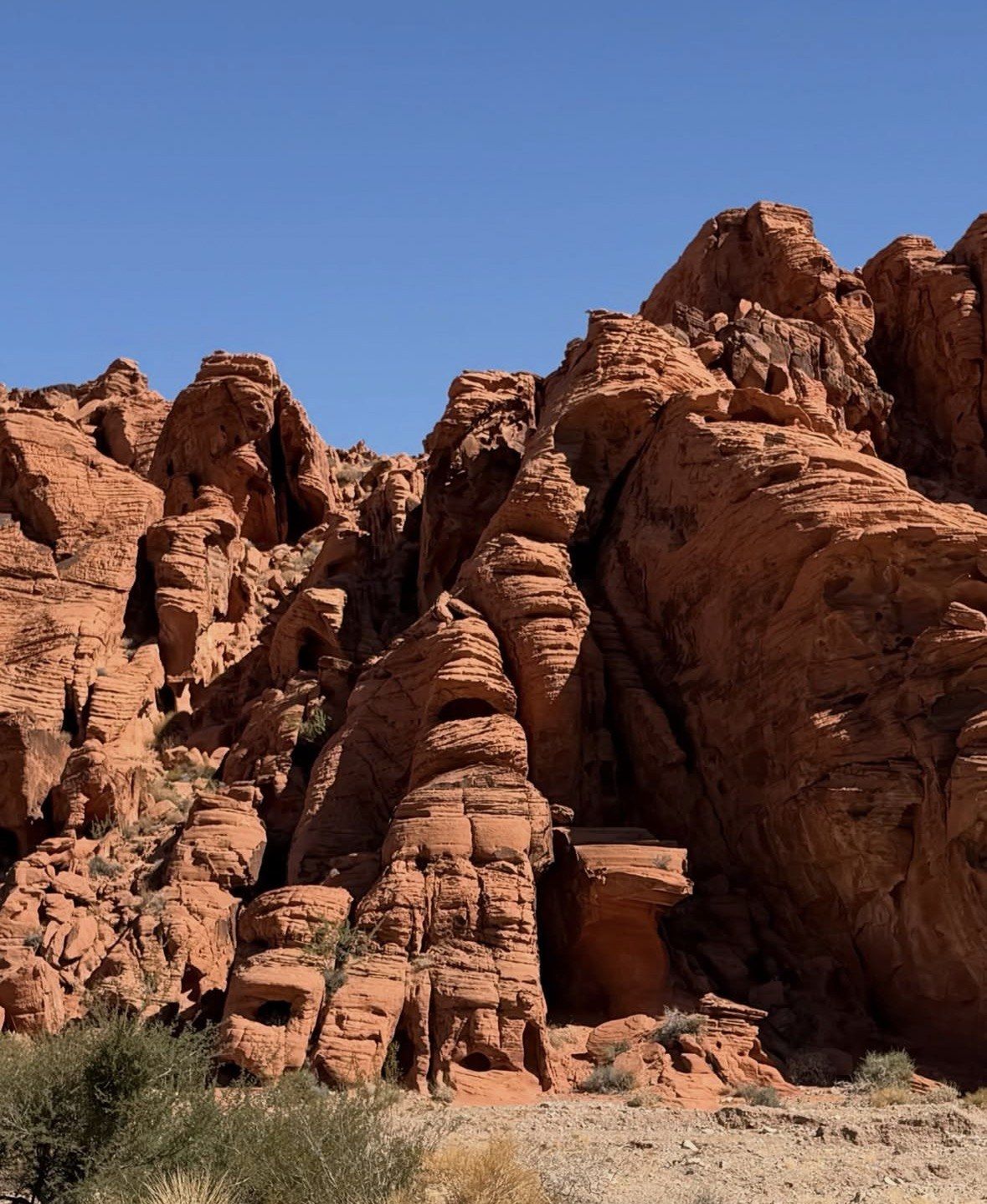
In shortElephant Rock stands on the north side of Valley of Fire Road at the park's east end, close to the East Entrance. The official park map puts the direct walk at 0.2 mile out and back from a designated parking area, with a 1.25-mile loop as the longer option. Climbing the formation is prohibited, and low early or late light brings out the texture.
0.2 mileout and back from the road
1.25 milesElephant Rock Loop option
7.0 milesroad between the fee booths
Monday to ThursdayEast Entrance only in 2026
Elephant Rock at the East Entrance
Elephant Rock sits on the north side of Valley of Fire Road at the eastern end of the park, and the official park brochure describes it as reached by trail from the East Entrance. Drive in from State Route 169 or State Route 167 and it is the first formation you pass. Drive out that way and it is the last thing you see before the fee booth.
That matters more in 2026 than it used to. The cause sits at the far end of the park: the Interstate 15 gate has stayed shut Mondays to Thursdays since 3 August 2026 while crews put in a new entrance lane and a second fee booth, and the park expects that arrangement to hold through the end of 2026. On those four days everyone comes and goes through the East Entrance, so this stop lands at the start or the finish of the day whether you plan it that way or not. Friday to Sunday the West Entrance keeps normal hours.
Distances inside the park are small. Valley of Fire Road covers 7.0 miles between the two fee booths at 35 mph, so from the Visitor Center junction the formation is a few minutes of driving at the posted limit.
Parking and the walk out to the arch
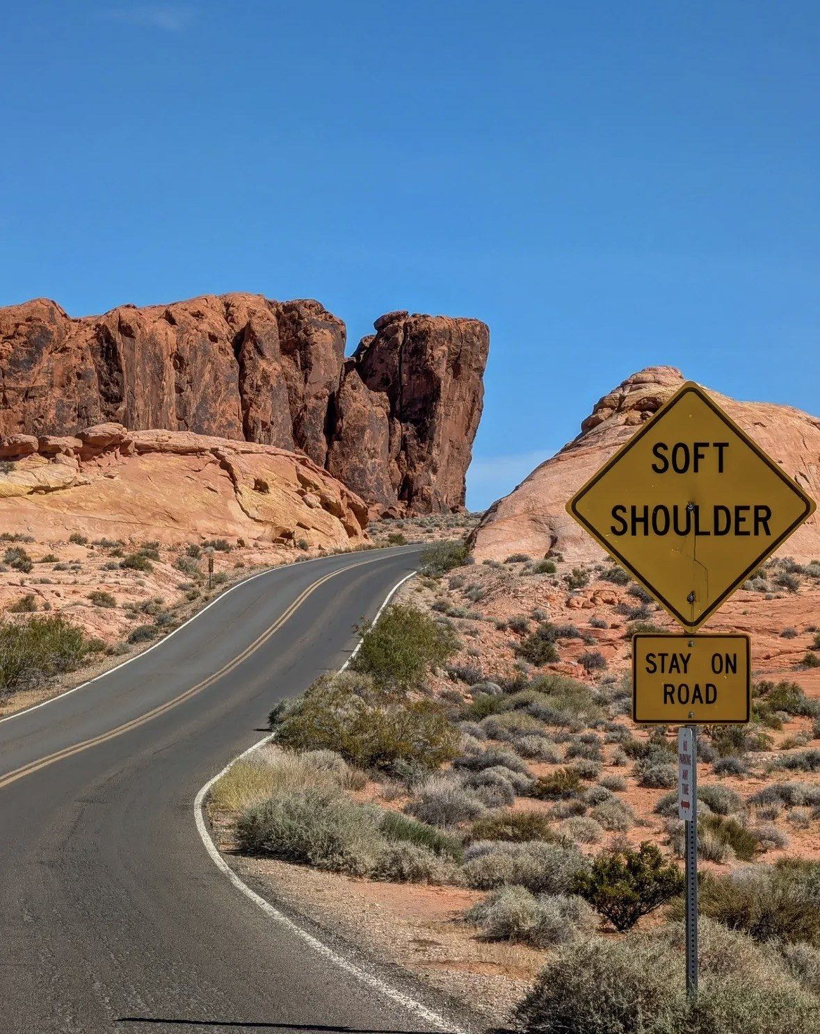
Use the designated parking area. Parking on the side of the road is not allowed anywhere in the park, which rules out the obvious move of pulling onto the shoulder below the formation and shooting from beside the car. With nearly a million visitors a year, the lots at the popular stops fill early, and this one is small.
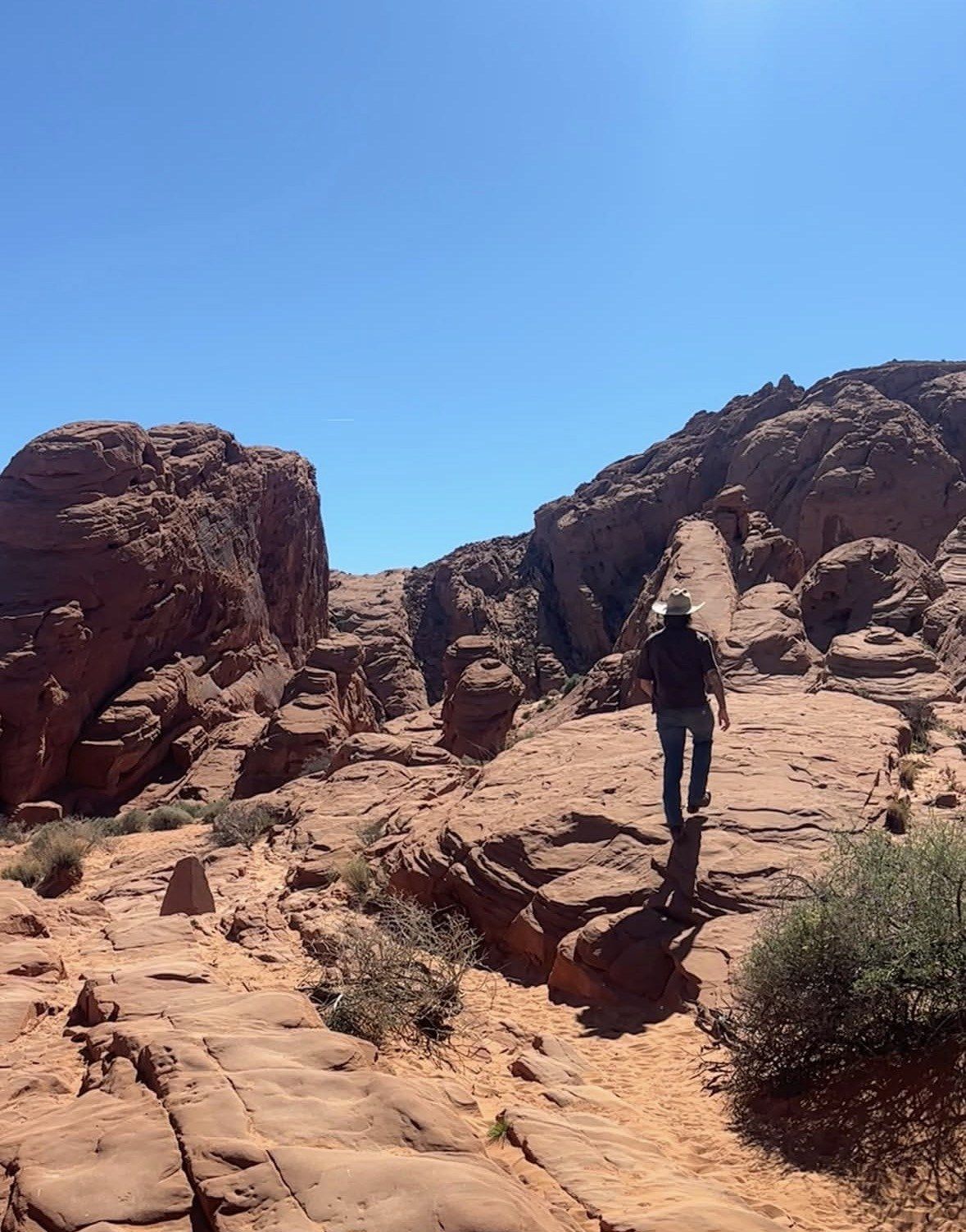
From the parking area the official map gives the direct approach as 0.2 mile there and back, over flat ground and sand. Most people spend longer standing still and framing the shape than walking to it.
There are no restrooms or shaded tables at this stop. The nearest day-use areas with both are further west along Valley of Fire Road at Seven Sisters and the stone cabins. Signal is a lottery out here: coverage is possible only at the park entrances, Fire Canyon Overlook, lot P3, the White Domes lot and the Atlatl Rock platform, so load the maps, directions and anything else you need while you still have data.
Half day from Las Vegas, driver and guide included
If you are not driving yourself, this 6-hour small group trip from $99 covers the hour out from Las Vegas and the park road with a professional driver and guide, and lists park admission, lunch, snacks and water among its inclusions.
★ 5.0/5 · 4,125 reviews
The Elephant Rock trail: 0.2 mile or the 1.25-mile loop
Two versions of the same stop. The short approach gets you to the viewpoint and back; the Elephant Rock Loop, listed at 1.25 miles on the official map, turns it into a proper walk through the sandstone behind the formation.
Season decides which one you can do. The park closes every trail longer than one mile from 15 May to 30 September as a heat-safety measure set by the park authority, which puts the loop out of play for those months while the 0.2-mile approach stays walkable. Check the thermometer even for the short version: the park's advice is not to hike above 85 F (29 C), summer highs regularly pass 100 F and can get near 120 F, and visitors are asked to go easy on water because the supply inside the park is limited.
Nevada State Parks has also run the 1.25-mile loop as an evening ranger outing, with participants arriving between 5 and 6 p.m. and back at their vehicles by 7 p.m. On any other evening the loop is off the table once the light goes: trails here stay closed from sunset to sunrise unless you are on an event the park has approved, and day visitors have to be out of the gate at sunset.
| Option | Distance | Good to know |
|---|
| Direct approach from the parking area | 0.2 mile out and back | Flat and quick, and short enough to stay open through the hot months |
|---|
| Elephant Rock Loop | 1.25 miles | Over the park's one-mile limit, so it goes with the closures from 15 May to 30 September |
|---|
| Petrified Logs loop, further west on the same road | 0.25 mile | Easy add-on if you want a second short stop on the drive out |
|---|
Making the shape read, and choosing your light
The elephant only appears from a narrow band of positions. Because the formation stands on the north side of the road, you are looking at it from the south, and the arch has to be side-on before the leg separates from the body and the trunk hangs clear. Walk a few paces along the path and watch the trunk form, break up and form again; pick your spot, then shoot. From too far around, it is simply an arch.
Light is the other half of it. Day use runs sunrise to sunset, and the sun sits more or less in front of the formation through the middle of the day, which flattens the red sandstone. The texture in the trunk and the shadow under the arch come out in the first hour after the gates open and in the last hour before you have to be out, so treat this as your first stop of the morning or your last of the evening rather than a midday pause.
Climbing on the arch formations, Elephant Rock included, is prohibited, and the park asks visitors not to climb arches or petroglyph surfaces anywhere. General rock climbing is limited to specific areas and you need to ask at the Visitor Center first. Drones and other remote-controlled aircraft are banned park-wide, so plan for ground-level frames. If a dog is coming into the picture with you, the leash has to be six feet or shorter.
Where it fits on the park road
Elephant Rock is the eastern bookend of a 7.0-mile string of stops: the Beehives, Atlatl Rock, Arch Rock, the stone cabins, Seven Sisters and the Petrified Logs all sit along the same Valley of Fire Road, posted at 35 mph, while White Domes Road turns north off it and runs 5.5 miles at 25 mph. The scenic drive page on this site sets out the order of stops and the mileages, which is the easiest way to decide whether Elephant Rock opens or closes your day.
Keep 1 to 14 December clear whatever you plan. Maintenance shuts the whole park for that fortnight, in 2026 from Tuesday 1 December to Monday 14 December, with the gates back on normal operations Tuesday 15 December. Nobody is admitted, not even on foot, and all commercial activity in the park is prohibited then, photo shoots and guided tours explicitly included.
Without a car, the tours on this site take the weekday entrance question and the hour at the wheel off your hands:
- Small Group: Valley of Fire Half Day Tour from Las Vegas, 6 hours, from $99, 5.0 ★ (4125 reviews): the park road version of this stop, with Valley of Fire State Park admission, a professional driver and guide, pick-up and drop-off at multiple locations, a deli-style sandwich, snacks and bottled water
- Valley of Fire 3-Hour ATV Tour from Las Vegas, 4.5 ★ (228 reviews), from $199 and 5.5 hours door to door: three of those hours on an ATV quad, with all safety gear, all fees and taxes, hotel pick-up and drop-off, sandwiches, chips and bottled water
Questions people ask
Can you see Elephant Rock from the car?
You pass it on Valley of Fire Road at the park's east end, but you cannot stop under it. Parking on the side of the road is not allowed anywhere in the park, so pull into the designated area and walk the 0.2 mile out and back. The viewpoint angle is better than anything you get through a windscreen anyway.
Is climbing on Elephant Rock allowed for photos?
No. Climbing on the arch formations, including Elephant Rock, is prohibited, and the park asks visitors not to climb arches or petroglyph surfaces anywhere in the park. Rock climbing in general is restricted to specific areas, and the park tells visitors to ask at the Visitor Center first. Rappelling is limited to one area.
Do I need a ticket or a reservation to visit Elephant Rock?
No reservation or timed-entry ticket exists for day use at Valley of Fire. Entry is handled per vehicle at a fee booth when you arrive, and the park is open sunrise to sunset year-round apart from the December maintenance closure. If you come on a guided trip instead, the small group half day tour on this site lists Valley of Fire State Park admission among its inclusions.
Which entrance should I use for Elephant Rock in 2026?
Monday to Thursday you have no choice: the West Entrance is shut for construction and the park directs visitors to the East Entrance via State Route 169 or State Route 167, which puts Elephant Rock right by your way in. Friday to Sunday the West Entrance keeps normal hours, and the formation then works as your last stop before heading out the east side. The park expects the construction to continue through the end of 2026.
How long should I allow for this stop?
For the 0.2-mile approach, a short stop is enough, including time to move around until the trunk lines up. Add the 1.25-mile loop and it becomes a walk of its own; a ranger-led version of the loop was scheduled with arrival between 5 and 6 p.m. and everyone back at vehicles by 7 p.m. Remember that the park's trails cross loose sand and rough ground and often feel longer than the listed distance.
Read also